File:Salisbury.jpg
(Redirected from File:Salisbury)
Jump to navigation
Jump to search

Size of this preview: 800 × 600 pixels. Other resolutions: 2,560 × 1,920 pixels | 4,000 × 3,000 pixels.
Original file (4,000 × 3,000 pixels, file size: 2.43 MB, MIME type: image/jpeg)
| |||||||||||||||||||||||||
|
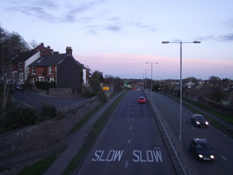
Galleries | A36 | Salisbury | Road Markings/SLOW | ||
File history
Click on a date/time to view the file as it appeared at that time.
| Date/Time | Thumbnail | Dimensions | User | Comment | |
|---|---|---|---|---|---|
| current | 19:25, 6 April 2014 |  | 4,000 × 3,000 (2.43 MB) | Robbie george (talk | contribs) | A36 Churchill way south, In 1969/70 phase 2 Salisbury relief road opened taking traffic up from Castle street to St Marks new roundabout , Here we can clearly see where the houses in Campbell road have had to make way for the new inner relief road with... |
File usage
The following 2 pages use this file:
- Road Markings/SLOW
- File:Salisbury (file redirect)