File:Sally Gap - Geograph - 1779959.jpg
Jump to navigation
Jump to search

No higher resolution available.
Sally_Gap_-_Geograph_-_1779959.jpg (640 × 480 pixels, file size: 56 KB, MIME type: image/jpeg)
| |||||||||||||||||||||||||
File history
Click on a date/time to view the file as it appeared at that time.
| Date/Time | Thumbnail | Dimensions | User | Comment | |
|---|---|---|---|---|---|
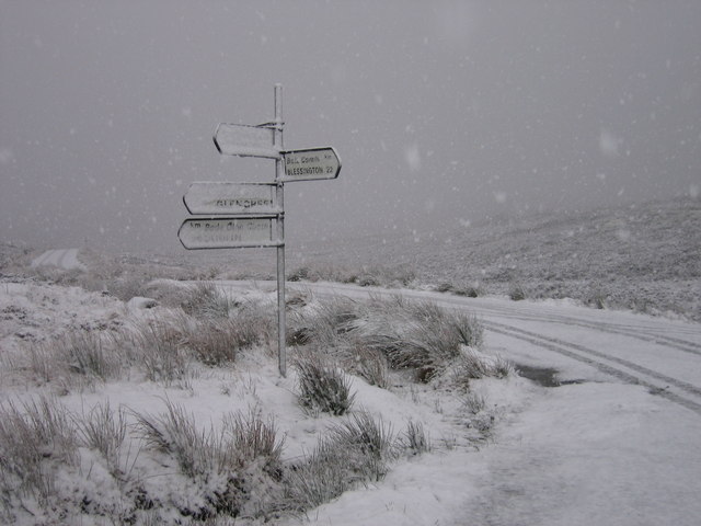
| current | 19:16, 22 March 2017 | | 640 × 480 (56 KB) | C2r (talk | contribs) | '''Sally Gap''' Sally Gap in the Wicklow Mountains at nearly 1,700 feet. This is where the "Military Road" (R115) crosses the R759. Both roads are frequently closed in winter. |