File:Salter Road, Rotherhithe (C) Malc McDonald - Geograph - 2427787.jpg
Jump to navigation
Jump to search

No higher resolution available.
Salter_Road,_Rotherhithe_(C)_Malc_McDonald_-_Geograph_-_2427787.jpg (640 × 480 pixels, file size: 69 KB, MIME type: image/jpeg)
| |||||||||||||||||||||||||
|
Galleries | B205 | ||
File history
Click on a date/time to view the file as it appeared at that time.
| Date/Time | Thumbnail | Dimensions | User | Comment | |
|---|---|---|---|---|---|
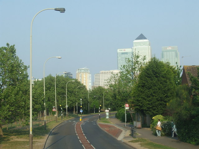
| current | 16:56, 4 January 2015 | | 640 × 480 (69 KB) | Vlad (talk | contribs) | '''Salter Road, Rotherhithe (C) Malc McDonald '''<br/>Salter Road was built in the 1980s, to improve access to the Rotherhithe peninsula. At the time, the peninsula was undergoing regeneration. Formerly the site of Surrey Docks, new housing was being... |
File usage
The following 2 pages use this file:
_Malc_McDonald_-_Geograph_-_2427787.jpg&oldid=392757)