File:Sandy Lane, Weston - Geograph - 70417.jpg
Jump to navigation
Jump to search

No higher resolution available.
Sandy_Lane,_Weston_-_Geograph_-_70417.jpg (640 × 480 pixels, file size: 162 KB, MIME type: image/jpeg)
| |||||||||||||||||||||||||
|
Galleries | B5154 | unclassified | Level Crossing | ||
File history
Click on a date/time to view the file as it appeared at that time.
| Date/Time | Thumbnail | Dimensions | User | Comment | |
|---|---|---|---|---|---|
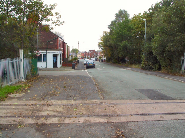
| current | 19:53, 6 June 2016 | | 640 × 480 (162 KB) | Vlad (talk | contribs) | '''Sandy Lane, Weston''' Looking west down Sandy Lane into Weston village,towards Weston Point, from the intersection at Baker Road. |
File usage
The following 2 pages use this file: