File:Sarratt Road bridge near Micklefield Green - Geograph - 2052703.jpg
Jump to navigation
Jump to search

Size of this preview: 569 × 600 pixels. Other resolution: 607 × 640 pixels.
Original file (607 × 640 pixels, file size: 88 KB, MIME type: image/jpeg)
| |||||||||||||||||||||||||
|
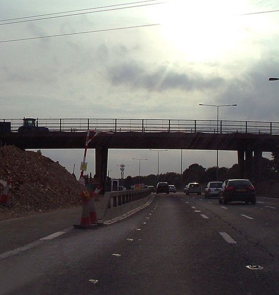
Galleries | M25 | E30 | Rickmansworth | Roadworks | ||
File history
Click on a date/time to view the file as it appeared at that time.
| Date/Time | Thumbnail | Dimensions | User | Comment | |
|---|---|---|---|---|---|
| current | 17:30, 29 June 2011 | | 607 × 640 (88 KB) | Si404 (talk | contribs) | Sarratt Road bridge near Micklefield Green |
File usage
The following 2 pages use this file: