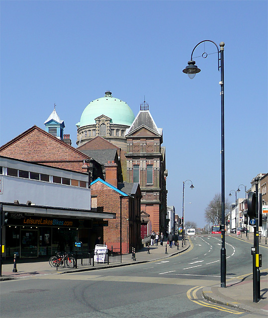
School Street, Wolverhampton. The traffic lights ahead are where Darlington Street crosses School Street, which continues ahead as Waterloo Road. The imposing architecture on the corner to the left, including the dome, is that of Darlington Street Methodist Church - a fine building.
School Street, Wolverhampton. The traffic lights ahead are where Darlington Street crosses School Street, which continues ahead as Waterloo Road. The imposing architecture on the corner to the left, including the dome, is that of Darlington Street Me
