File:Scilly Isles alternative B.png
Jump to navigation
Jump to search

No higher resolution available.
Scilly_Isles_alternative_B.png (720 × 500 pixels, file size: 61 KB, MIME type: image/png)
| |||||||||||||||||||||||||
|
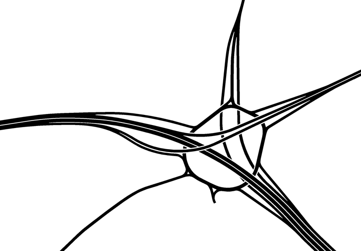
Galleries | A3 | A307 | A309 | Scilly Isles Junction | ||
File history
Click on a date/time to view the file as it appeared at that time.
| Date/Time | Thumbnail | Dimensions | User | Comment | |
|---|---|---|---|---|---|
| current | 19:03, 27 June 2015 | | 720 × 500 (61 KB) | Truvelo (talk | contribs) | Alternative layout for Scilly Isles Junction as part of the River Mole Route for the A3 Esher Bypass. |
File usage
The following 3 pages use this file: