File:Scoil Naomh Mhuire, Moynalty, Co. Meath - Geograph - 3631269.jpg
Jump to navigation
Jump to search

No higher resolution available.
Scoil_Naomh_Mhuire,_Moynalty,_Co._Meath_-_Geograph_-_3631269.jpg (640 × 357 pixels, file size: 32 KB, MIME type: image/jpeg)
| |||||||||||||||||||||||||
|
Galleries | R194 | ||
File history
Click on a date/time to view the file as it appeared at that time.
| Date/Time | Thumbnail | Dimensions | User | Comment | |
|---|---|---|---|---|---|
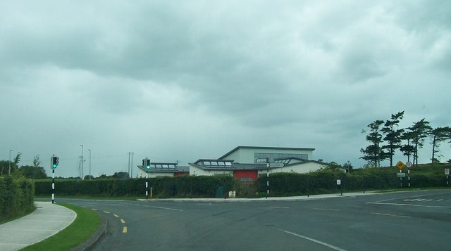
| current | 12:15, 13 May 2014 | | 640 × 357 (32 KB) | Viator (talk | contribs) | Scoil Naomh Mhuire, a new primary school on the R194 on the north-western edge of Moynalty |
File usage
The following 2 pages use this file: