File:Selby Toll Bridge.jpg
Jump to navigation
Jump to search

No higher resolution available.
Selby_Toll_Bridge.jpg (640 × 427 pixels, file size: 60 KB, MIME type: image/jpeg)
Summary
| |||||||||||||||||||||||||||
|
Galleries | A19 | Selby Toll Bridge | ||
File history
Click on a date/time to view the file as it appeared at that time.
| Date/Time | Thumbnail | Dimensions | User | Comment | |
|---|---|---|---|---|---|
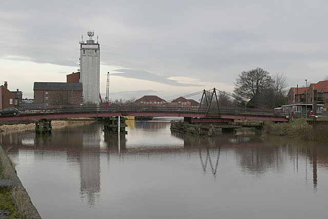
| current | 20:00, 19 August 2009 | | 640 × 427 (60 KB) | Jeni (talk | contribs) | == Summary == {{Information |Description=River Ouse at Selby |Source=From [http://www.geograph.org.uk/photo/644745 geograph.org.uk] |Date=2007-12-26 |Author=[http://www.geograph.org.uk/profile/9181 Alan Murray-Rust] |Permission=Creative Commons Attributio |
File usage
The following 2 pages use this file: