File:Service area on A449 - Geograph - 485753.jpg
Jump to navigation
Jump to search

No higher resolution available.
Service_area_on_A449_-_Geograph_-_485753.jpg (640 × 434 pixels, file size: 288 KB, MIME type: image/jpeg)
| |||||||||||||||||||||||||
|
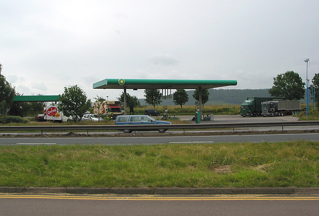
Galleries | A449 | Herefordshire Cider Route | Ross Spur services | Ross-on-Wye | ||
File history
Click on a date/time to view the file as it appeared at that time.
| Date/Time | Thumbnail | Dimensions | User | Comment | |
|---|---|---|---|---|---|
| current | 15:56, 8 September 2009 | | 640 × 434 (288 KB) | Jeni (talk | contribs) | {{Information |description = Service area on A449 |day = 05 |month = 07 |year = 2007 |photographer = © Copyright [http://www.geograph.org.uk/profile/13903 Pauline Eccles] and licensed for reuse under [http://creativecommons.org/l |
File usage
There are no pages that use this file.