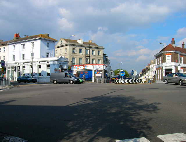
Seven Dials The road junction that gives the area its current name. As suggested the roundabout in the middle is the meeting point for seven roads; Dyke Road (A2010), Buckingham Place (A2010), Chatham Place (B2120), Vernon Terrace (B2122), Goldsmid Road (B2120) and Prestonville Road the only non main road. This view looks north east taking in Chatham Place to the right, Dyke Road to the left and Prestonville Road between the two. The building on the right is a former bank that is now currently a restaurant having briefly been an unsuccessful Burger King outlet. The white building to the left was also once a bank but is now an art gallery whilst a laundry occupies the space between Chatham Place and Prestonville Road. Not surprisingly at busy times the junction can become gridlocked.
'''Seven Dials''' The road junction that gives the area its current name. As suggested the roundabout in the middle is the meeting point for seven roads; Dyke Road (A2010), Buckingham Place (A2010), Chatham Place (B2120), Vernon Terrace (B2122), Goldsm...
