File:Shalford- Former LB&SCR Horsham &... (C) Nigel Cox - Geograph - 3512087.jpg
Jump to navigation
Jump to search

No higher resolution available.
Shalford-_Former_LB&SCR_Horsham_&..._(C)_Nigel_Cox_-_Geograph_-_3512087.jpg (640 × 480 pixels, file size: 122 KB, MIME type: image/jpeg)
| |||||||||||||||||||||||||
|
Galleries | NCN22 | Guildford | Warning Sign/Horses | ||
File history
Click on a date/time to view the file as it appeared at that time.
| Date/Time | Thumbnail | Dimensions | User | Comment | |
|---|---|---|---|---|---|
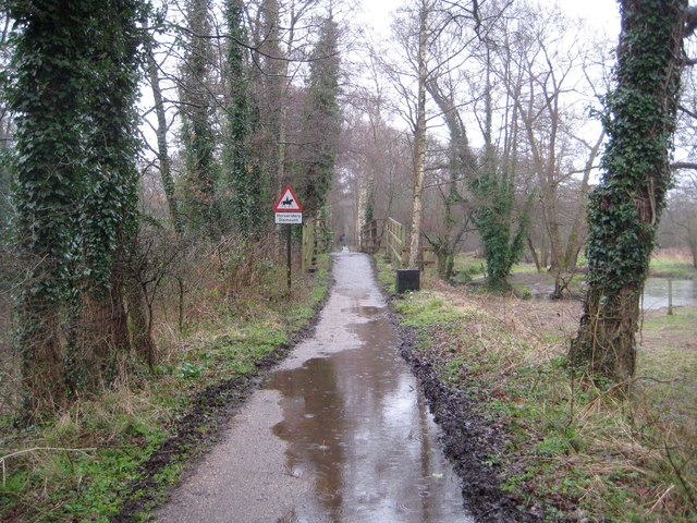
| current | 13:02, 8 March 2014 | | 640 × 480 (122 KB) | Si404 (talk | contribs) | '''Shalford- Former LB&SCR Horsham &... (C) Nigel Cox '''<br/>This is the view looking along the trackbed of the former London Brighton & South Coast Railway line between Horsham and Guildford. The line lasted for 4 months short of 100 years, opening i... |
File usage
The following 3 pages use this file:
_Nigel_Cox_-_Geograph_-_3512087.jpg&oldid=366406)