File:Shanaghy Road, Shanaghy - Geograph - 3912479.jpg
Jump to navigation
Jump to search

No higher resolution available.
Shanaghy_Road,_Shanaghy_-_Geograph_-_3912479.jpg (640 × 480 pixels, file size: 149 KB, MIME type: image/jpeg)
| |||||||||||||||||||||||||
|
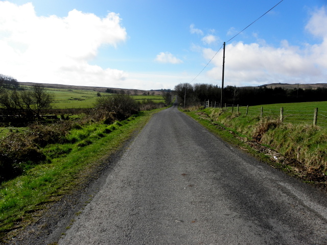
Galleries | B166 (Northern Ireland) | unclassified | ||
File history
Click on a date/time to view the file as it appeared at that time.
| Date/Time | Thumbnail | Dimensions | User | Comment | |
|---|---|---|---|---|---|
| current | 19:53, 13 February 2017 | | 640 × 480 (149 KB) | Vlad (talk | contribs) | '''Shanaghy Road, Shanaghy''' Heading SSW towards Tievenameenta |
File usage
The following 2 pages use this file: