File:Sharp bend in the road towards Black Callerton - Geograph - 4422384.jpg
Jump to navigation
Jump to search

No higher resolution available.
Sharp_bend_in_the_road_towards_Black_Callerton_-_Geograph_-_4422384.jpg (640 × 480 pixels, file size: 76 KB, MIME type: image/jpeg)
| |||||||||||||||||||||||||
|
Galleries | C106 (Newcastle upon Tyne) | ||
File history
Click on a date/time to view the file as it appeared at that time.
| Date/Time | Thumbnail | Dimensions | User | Comment | |
|---|---|---|---|---|---|
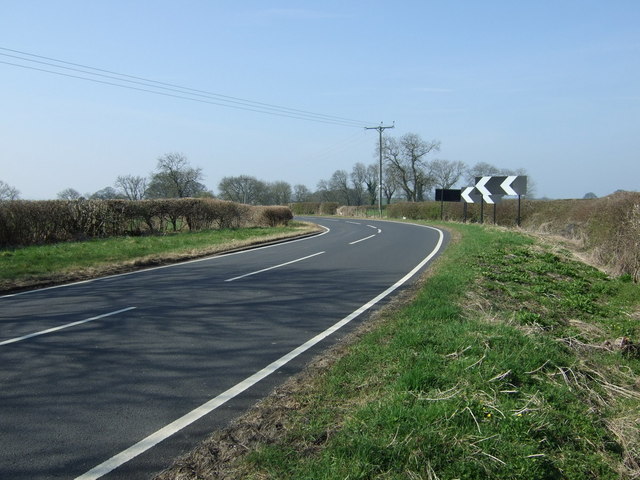
| current | 10:04, 20 September 2018 | | 640 × 480 (76 KB) | Gc a690 (talk | contribs) | '''Sharp bend in the road towards Black Callerton''' Heading south west. |
File usage
The following page uses this file: