File:Shaw Heath - Geograph - 3849028.jpg
Jump to navigation
Jump to search

Size of this preview: 600 × 600 pixels. Other resolution: 640 × 640 pixels.
Original file (640 × 640 pixels, file size: 81 KB, MIME type: image/jpeg)
| |||||||||||||||||||||||||
File history
Click on a date/time to view the file as it appeared at that time.
| Date/Time | Thumbnail | Dimensions | User | Comment | |
|---|---|---|---|---|---|
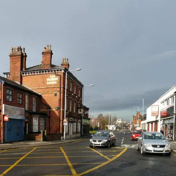
| current | 19:39, 26 July 2016 | | 640 × 640 (81 KB) | Vlad (talk | contribs) | '''Shaw Heath''' Looking down Shaw Heath, the B5465 towards Edgeley. On the left is an old Robinson's pub The Florist. Shaw Heath continues past the box junction on the left as an unclassified road to Davenport. The B5465 takes the road off to the righ... |
File usage
The following page uses this file: