File:Shaw and Crompton Parish Boundary at High Crompton - Geograph - 662208.jpg
Jump to navigation
Jump to search

No higher resolution available.
Shaw_and_Crompton_Parish_Boundary_at_High_Crompton_-_Geograph_-_662208.jpg (640 × 469 pixels, file size: 104 KB, MIME type: image/jpeg)
| |||||||||||||||||||||||||
|
Galleries | B6194 | B6196 (Rochdale - Shaw) | Information Sign | S2 | ||
File history
Click on a date/time to view the file as it appeared at that time.
| Date/Time | Thumbnail | Dimensions | User | Comment | |
|---|---|---|---|---|---|
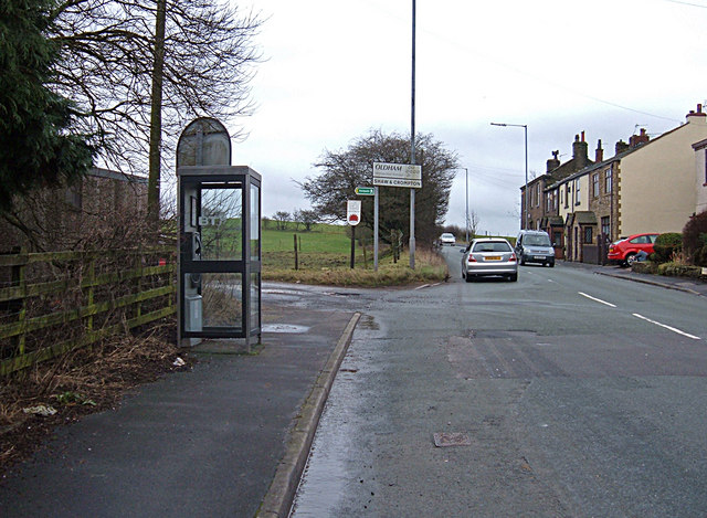
| current | 19:54, 4 April 2010 | | 640 × 469 (104 KB) | Bob@romiley1 (talk | contribs) | '''Shaw and Crompton Parish Boundary at High Crompton'''<br/>The metal boundary plaque can be seen to the left of the footpath sign. View looking southeast along the B6194,Rochdale Road, at Burnedge. A close-up of the plaque can be seen here <a href="http |
File usage
The following 3 pages use this file: