File:Shell filling station, Thrapston - Geograph - 846521.jpg
Jump to navigation
Jump to search

No higher resolution available.
Shell_filling_station,_Thrapston_-_Geograph_-_846521.jpg (640 × 427 pixels, file size: 78 KB, MIME type: image/jpeg)
| |||||||||||||||||||||||||
|
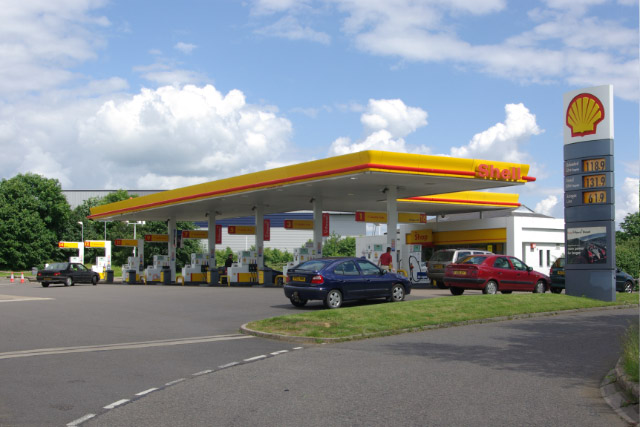
Galleries | Thrapston services | Petrol station | ||
File history
Click on a date/time to view the file as it appeared at that time.
| Date/Time | Thumbnail | Dimensions | User | Comment | |
|---|---|---|---|---|---|
| current | 14:22, 19 June 2011 | | 640 × 427 (78 KB) | Jeni (talk | contribs) | Shell filling station, Thrapston |
File usage
The following page uses this file: