File:Shepherd's Hill, Earley - Geograph - 565955.jpg

From Roader's Digest: The SABRE Wiki
Jump to navigation Jump to search

Shepherd's_Hill,_Earley_-_Geograph_-_565955.jpg(640 × 480 pixels, file size: 132 KB, MIME type: image/jpeg)

Y topleft.gifY topright.gif
Description:
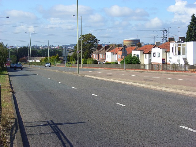
Shepherd's Hill, Earley
The A4, London Road, climbs the hill out of Reading. The houses on either side are served by parallel roads. The site of Earley Power Station is on the right after the first group of houses.
Location:51.4582590, -0.9262190
Road:A4
Date:22 09 2007
Photographer:� Copyright Andrew Smith and licensed for reuse under this Creative Commons Licence
Source:Geograph

Map

Y btmleft.gifY btmright.gif

Galleries  | A4 | Reading

File history

Click on a date/time to view the file as it appeared at that time.

Date/TimeThumbnailDimensionsUserComment
current15:20, 8 March 2010Thumbnail for version as of 15:20, 8 March 2010640 × 480 (132 KB)Jeni (talk | contribs)'''Shepherd's Hill, Earley'''<br/>The A4, London Road, climbs the hill out of Reading. The houses on either side are served by parallel roads. The site of Earley Power Station is on the right after the first group of houses.

The following page uses this file:

Metadata

SABRE - The Society for All British and Irish Road Enthusiasts
Discuss - Digest - Discover - Help