File:Sherborne Street, Manchester - Geograph - 2227651.jpg
Jump to navigation
Jump to search

Size of this preview: 450 × 600 pixels. Other resolution: 480 × 640 pixels.
Original file (480 × 640 pixels, file size: 73 KB, MIME type: image/jpeg)
| |||||||||||||||||||||||||
|
Galleries | B6185 | unclassified | ||
File history
Click on a date/time to view the file as it appeared at that time.
| Date/Time | Thumbnail | Dimensions | User | Comment | |
|---|---|---|---|---|---|
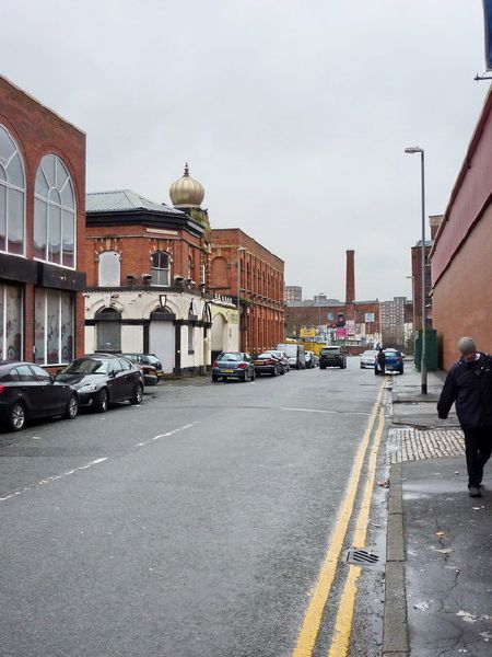
| current | 18:30, 23 August 2016 | | 480 × 640 (73 KB) | Vlad (talk | contribs) | '''Sherborne Street, Manchester''' |
File usage
The following 2 pages use this file: