File:Shoe lane (Ring of Steel) - Coppermine - 557.JPG
Jump to navigation
Jump to search

Size of this preview: 800 × 600 pixels. Other resolution: 1,600 × 1,200 pixels.
Original file (1,600 × 1,200 pixels, file size: 305 KB, MIME type: image/jpeg)
| |||||||||||||||||||||||||
|
Galleries | S2 | City of London | ||
File history
Click on a date/time to view the file as it appeared at that time.
| Date/Time | Thumbnail | Dimensions | User | Comment | |
|---|---|---|---|---|---|
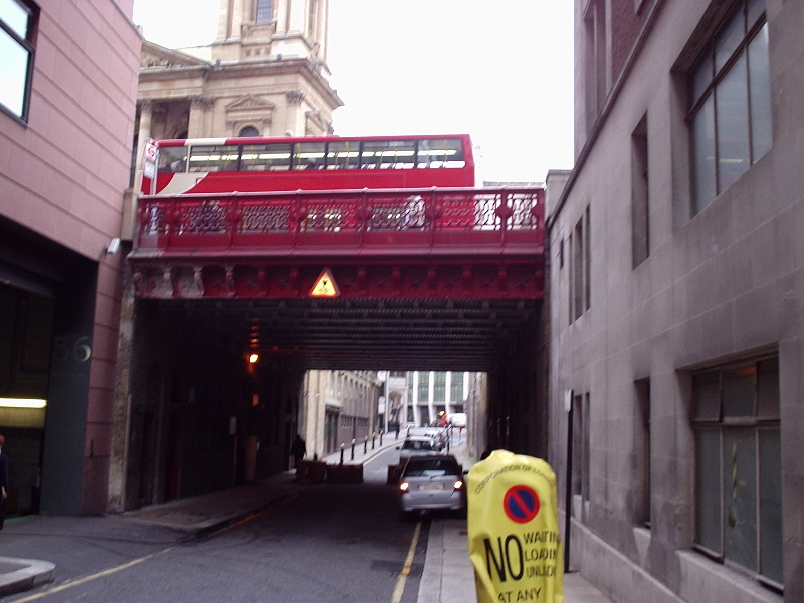
| current | 12:54, 24 June 2010 | | 1,600 × 1,200 (305 KB) | Bob@romiley1 (talk | contribs) | '''Shoe lane (Ring of Steel)''' Shoe Lane was another of the streets stopped up in 2003. Approaching the bridge from this direction - which when it was a through road was the only direction you could do so as it was a one way street - the concrete barrie |
File usage
The following 3 pages use this file:
_-_Coppermine_-_557.JPG&oldid=407018)