File:Shops in Holmer Green - Geograph - 150545.jpg
Jump to navigation
Jump to search

No higher resolution available.
Shops_in_Holmer_Green_-_Geograph_-_150545.jpg (640 × 480 pixels, file size: 109 KB, MIME type: image/jpeg)
| |||||||||||||||||||||||||
|
Galleries | MC17 (Buckinghamshire) | ||
File history
Click on a date/time to view the file as it appeared at that time.
| Date/Time | Thumbnail | Dimensions | User | Comment | |
|---|---|---|---|---|---|
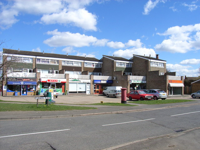
| current | 10:41, 11 March 2017 | | 640 × 480 (109 KB) | Si404 (talk | contribs) | '''Shops in Holmer Green''' Holmer Green is part of the suburban sprawl to the northeast of Wycombe. |
File usage
The following 2 pages use this file: