File:Shore Road, Skelmorlie - Geograph - 3362640.jpg
Jump to navigation
Jump to search

Size of this preview: 450 × 600 pixels. Other resolution: 480 × 640 pixels.
Original file (480 × 640 pixels, file size: 154 KB, MIME type: image/jpeg)
| |||||||||||||||||||||||||
|
Galleries | A78 | Skelmorlie | ||
File history
Click on a date/time to view the file as it appeared at that time.
| Date/Time | Thumbnail | Dimensions | User | Comment | |
|---|---|---|---|---|---|
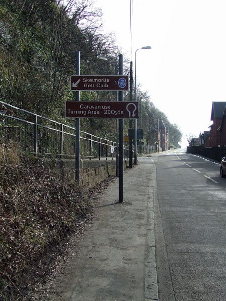
| current | 22:06, 6 March 2021 | | 480 × 640 (154 KB) | Tam nugent (talk | contribs) | The steep Long Hill joins at an acute angle on the left, hence the turning point ahead for longer vehicles. |
File usage
The following page uses this file: