File:Shoreham By-Pass Bridge - Geograph - 733276.jpg
Jump to navigation
Jump to search

Size of this preview: 449 × 600 pixels. Other resolution: 479 × 640 pixels.
Original file (479 × 640 pixels, file size: 111 KB, MIME type: image/jpeg)
| |||||||||||||||||||||||||
|
Galleries | A27 | Shoreham-by-Sea | Adur Viaduct | ||
File history
Click on a date/time to view the file as it appeared at that time.
| Date/Time | Thumbnail | Dimensions | User | Comment | |
|---|---|---|---|---|---|
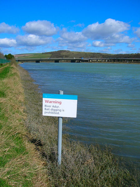
| current | 15:06, 18 May 2010 | | 479 × 640 (111 KB) | Bob@romiley1 (talk | contribs) | '''Shoreham By-Pass Bridge'''<br/>Looking up the River Adur towards the flyover built in the late 1960s to replace the old 18th cventury wooden toll bridge. Beyond the bridge is Mill Hill. |
File usage
The following page uses this file: