File:Site of Kegworth aeroplane disaster - Geograph - 165281.jpg

From Roader's Digest: The SABRE Wiki
Jump to navigation Jump to search

Site_of_Kegworth_aeroplane_disaster_-_Geograph_-_165281.jpg(640 × 468 pixels, file size: 43 KB, MIME type: image/jpeg)

Y topleft.gifY topright.gif
Description:
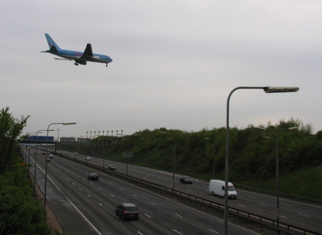
Site of Kegworth aeroplane disaster
At the time of the Kegworth air crash the motorway was less wide. The aircraft came down into the motorway cutting and disintegrated on the embankment.
Location:52.833951, -1.299340
Road:M1
Date:06 05 2006
Photographer:� Copyright Andrew Tatlow and licensed for reuse under this Creative Commons Licence
Source:Geograph

Map

Y btmleft.gifY btmright.gif

Galleries  | M1 | East Midlands Airport

File history

Click on a date/time to view the file as it appeared at that time.

Date/TimeThumbnailDimensionsUserComment
current16:34, 11 April 2010Thumbnail for version as of 16:34, 11 April 2010640 × 468 (43 KB)Sabristo simon (talk | contribs)'''Site of Kegworth aeroplane disaster'''<br/>At the time of the Kegworth air crash the motorway was less wide. The aircraft came down into the motorway cutting and disintegrated on the embankment.

The following page uses this file:

Metadata

SABRE - The Society for All British and Irish Road Enthusiasts
Discuss - Digest - Discover - Help