File:Slaidburn Bridge - Geograph - 1820305.jpg
Jump to navigation
Jump to search

No higher resolution available.
Slaidburn_Bridge_-_Geograph_-_1820305.jpg (640 × 480 pixels, file size: 146 KB, MIME type: image/jpeg)
| |||||||||||||||||||||||||
|
Galleries | B6478 | New Bridge (Slaidburn) | Pictures from Geograph | ||
File history
Click on a date/time to view the file as it appeared at that time.
| Date/Time | Thumbnail | Dimensions | User | Comment | |
|---|---|---|---|---|---|
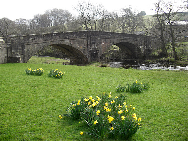
| current | 16:47, 30 December 2020 | | 640 × 480 (146 KB) | C2r (talk | contribs) | '''Slaidburn Bridge''' The bridge carries the B6478 over the River Hodder at the eastern end of the village. |
File usage
The following 2 pages use this file: