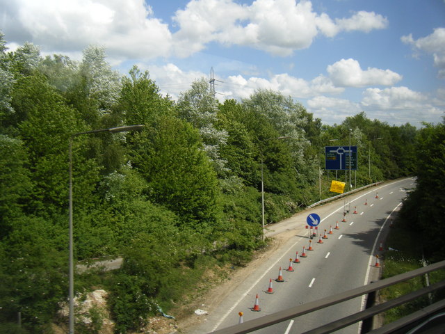
File:Slip road from M25 to A405, seen from M1 slip to M25 clockwise - Geograph - 2419962.jpg
Jump to navigation
Jump to search

No higher resolution available.
Slip_road_from_M25_to_A405,_seen_from_M1_slip_to_M25_clockwise_-_Geograph_-_2419962.jpg (640 × 480 pixels, file size: 92 KB, MIME type: image/jpeg)
| |||||||||||||||||||||||||
|
Galleries | M25 | Bricket Wood Junction | Chiswell Interchange | Advance Direction Sign | Roadworks | ||
File history
Click on a date/time to view the file as it appeared at that time.
| Date/Time | Thumbnail | Dimensions | User | Comment | |
|---|---|---|---|---|---|
| current | 17:18, 29 June 2011 | | 640 × 480 (92 KB) | Si404 (talk | contribs) | Slip road from M25 to A405, seen from M1 slip to M25 clockwise |
File usage
There are no pages that use this file.