File:Snowy Tyne Valley - Geograph - 1649250.jpg
Jump to navigation
Jump to search

No higher resolution available.
Snowy_Tyne_Valley_-_Geograph_-_1649250.jpg (640 × 476 pixels, file size: 56 KB, MIME type: image/jpeg)
| |||||||||||||||||||||||||
|
Galleries | A1 Dunbar - Portobello | A1 Bridge (East Linton) | ||
File history
Click on a date/time to view the file as it appeared at that time.
| Date/Time | Thumbnail | Dimensions | User | Comment | |
|---|---|---|---|---|---|
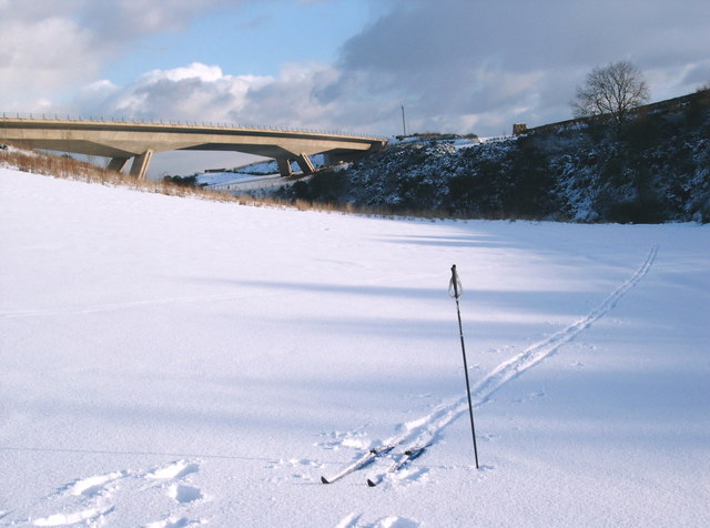
| current | 11:06, 20 July 2010 | | 640 × 476 (56 KB) | Bob@romiley1 (talk | contribs) | '''Snowy Tyne Valley'''<br/>The expressway bridge from the snowy lower slopes of Pencraig Hill |
File usage
The following 2 pages use this file: