File:Somerford Bridge - Geograph - 4325952.jpg
Jump to navigation
Jump to search

No higher resolution available.
Somerford_Bridge_-_Geograph_-_4325952.jpg (640 × 480 pixels, file size: 97 KB, MIME type: image/jpeg)
| |||||||||||||||||||||||||
|
Galleries | C260 (Staffordshire) | C184 (Staffordshire) | Wolverhampton | Somerford Bridge | ||
File history
Click on a date/time to view the file as it appeared at that time.
| Date/Time | Thumbnail | Dimensions | User | Comment | |
|---|---|---|---|---|---|
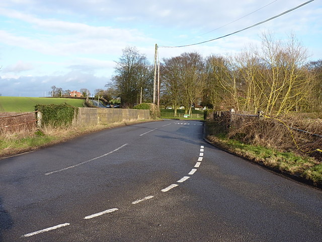
| current | 16:09, 12 April 2020 | | 640 × 480 (97 KB) | Steven (talk | contribs) | '''Somerford Bridge''' On Clay Gates Road, one of the main routes in to/out of Brewood from the A5 to the north. |
File usage
The following 3 pages use this file: