File:Sonning Bridge - Geograph - 510496.jpg
Jump to navigation
Jump to search

No higher resolution available.
Sonning_Bridge_-_Geograph_-_510496.jpg (640 × 480 pixels, file size: 151 KB, MIME type: image/jpeg)
| |||||||||||||||||||||||||
|
Galleries | B478 | Sonning Bridge | ||
File history
Click on a date/time to view the file as it appeared at that time.
| Date/Time | Thumbnail | Dimensions | User | Comment | |
|---|---|---|---|---|---|
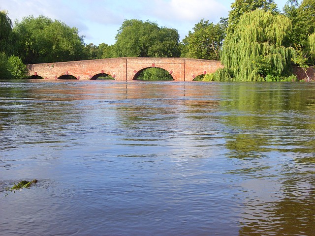
| current | 16:52, 8 March 2010 | | 640 × 480 (151 KB) | Jeni (talk | contribs) | '''Sonning Bridge'''<br/>Taken just a short distance along the towpath towards Shiplake. Further progress was not possible due to the depth of water. |
File usage
The following 3 pages use this file: