File:Sonning Bridge - Geograph - 657810.jpg
Jump to navigation
Jump to search

No higher resolution available.
Sonning_Bridge_-_Geograph_-_657810.jpg (640 × 480 pixels, file size: 114 KB, MIME type: image/jpeg)
| |||||||||||||||||||||||||
|
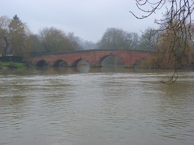
Galleries | B478 | Sonning Bridge | ||
File history
Click on a date/time to view the file as it appeared at that time.
| Date/Time | Thumbnail | Dimensions | User | Comment | |
|---|---|---|---|---|---|
| current | 16:52, 8 March 2010 | | 640 × 480 (114 KB) | Jeni (talk | contribs) | '''Sonning Bridge'''<br/>Looking upstream from the Oxfordshire side. The water level can be seen to be considerably lower than this summer version: <a href="http://www.geograph.org.uk/photo/510496">SU7575 : Sonning Bridge</a>. |
File usage
The following 2 pages use this file: