File:Sorn and the Bridge - Geograph - 2572509.jpg
Jump to navigation
Jump to search

No higher resolution available.
Sorn_and_the_Bridge_-_Geograph_-_2572509.jpg (640 × 427 pixels, file size: 68 KB, MIME type: image/jpeg)
| |||||||||||||||||||||||||
|
Galleries | A846 | A847 | Sorn Bridge | ||
File history
Click on a date/time to view the file as it appeared at that time.
| Date/Time | Thumbnail | Dimensions | User | Comment | |
|---|---|---|---|---|---|
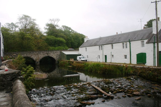
| current | 14:12, 12 April 2022 | | 640 × 427 (68 KB) | Rileyrob (talk | contribs) | '''Sorn and the Bridge''' The road bridge and River Sorn at Bridgend. |
File usage
The following 3 pages use this file: