File:South-Western End of M42 on 1982 Map - Coppermine - 17526.JPG
Jump to navigation
Jump to search

Size of this preview: 450 × 600 pixels. Other resolution: 1,200 × 1,600 pixels.
Original file (1,200 × 1,600 pixels, file size: 138 KB, MIME type: image/jpeg)
| |||||||||||||||||||||||||
|
Galleries | M5 | Bromsgrove | Other Mapping | ||
File history
Click on a date/time to view the file as it appeared at that time.
| Date/Time | Thumbnail | Dimensions | User | Comment | |
|---|---|---|---|---|---|
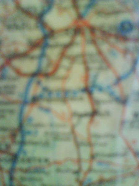
| current | 12:48, 11 May 2013 | | 1,200 × 1,600 (138 KB) | Nickdunn (talk | contribs) | '''South-Western End of M42 on 1982 Map''' There are a lot of 'under construction and projected' roads on the map, but this is the only one that wasn't actually built as depicted. It's the second and (due to low quality) final picture of the map I too... |
File usage
There are no pages that use this file.