File:South Leinster Way - Geograph - 1254390.jpg
Jump to navigation
Jump to search

No higher resolution available.
South_Leinster_Way_-_Geograph_-_1254390.jpg (640 × 426 pixels, file size: 168 KB, MIME type: image/jpeg)
| |||||||||||||||||||||||||
|
Galleries | Mount Leinster Heritage Drive | ||
File history
Click on a date/time to view the file as it appeared at that time.
| Date/Time | Thumbnail | Dimensions | User | Comment | |
|---|---|---|---|---|---|
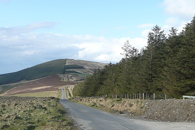
| current | 15:43, 20 September 2018 | | 640 × 426 (168 KB) | Si404 (talk | contribs) | '''South Leinster Way''' This road is incorporated into a scenic drive and is also part of the South Leinster Way long distance path. This is looking north towards Croghaun, the most northerly hill of the Blackstairs mountains. |
File usage
The following page uses this file: