File:South on Rusper Road Horsham - Geograph - 3041541.jpg
Jump to navigation
Jump to search

No higher resolution available.
South_on_Rusper_Road_Horsham_-_Geograph_-_3041541.jpg (640 × 480 pixels, file size: 105 KB, MIME type: image/jpeg)
| |||||||||||||||||||||||||
|
Galleries | C28 (West Sussex) | ||
File history
Click on a date/time to view the file as it appeared at that time.
| Date/Time | Thumbnail | Dimensions | User | Comment | |
|---|---|---|---|---|---|
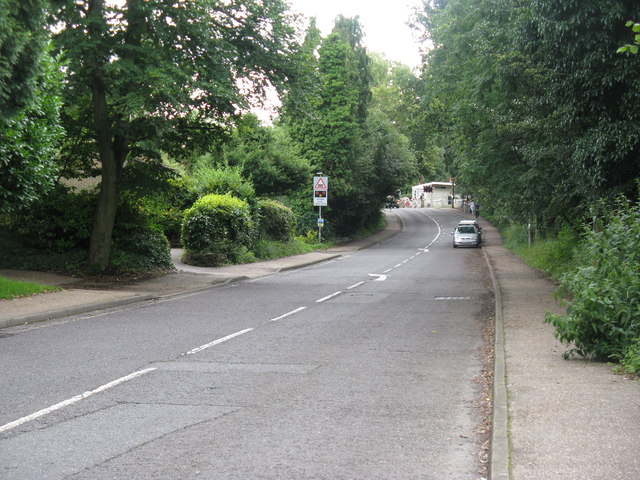
| current | 20:14, 1 February 2019 | | 640 × 480 (105 KB) | Jervi (talk | contribs) | '''South on Rusper Road Horsham''' The old style level crossing gates are by Littlehaven station. |
File usage
The following page uses this file: