File:Southern end of Alexandra Road, Newport (C) Jaggery - Geograph - 1964885.jpg
Jump to navigation
Jump to search

No higher resolution available.
Southern_end_of_Alexandra_Road,_Newport_(C)_Jaggery_-_Geograph_-_1964885.jpg (640 × 480 pixels, file size: 67 KB, MIME type: image/jpeg)
| |||||||||||||||||||||||||
|
Galleries | A4052 | unclassified | Newport | ||
File history
Click on a date/time to view the file as it appeared at that time.
| Date/Time | Thumbnail | Dimensions | User | Comment | |
|---|---|---|---|---|---|
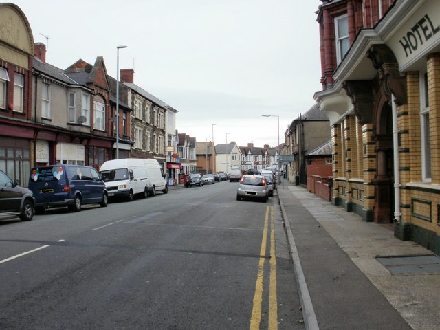
| current | 20:03, 18 August 2014 | | 640 × 480 (67 KB) | Vlad (talk | contribs) | '''Southern end of Alexandra Road, Newport (C) Jaggery '''<br/>Looking NW from near the Usk Way end of the road. |
File usage
The following 2 pages use this file:
_Jaggery_-_Geograph_-_1964885.jpg&oldid=383511)