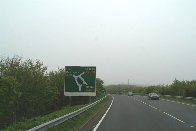
File:Southern end of the Hayle bypass on the A30 - Geograph - 169519.jpg
Jump to navigation
Jump to search

No higher resolution available.
Southern_end_of_the_Hayle_bypass_on_the_A30_-_Geograph_-_169519.jpg (640 × 426 pixels, file size: 56 KB, MIME type: image/jpeg)
| |||||||||||||||||||||||||
|
Galleries | A30 | Advance Direction Sign | ||
File history
Click on a date/time to view the file as it appeared at that time.
| Date/Time | Thumbnail | Dimensions | User | Comment | |
|---|---|---|---|---|---|
| current | 20:03, 15 January 2010 | | 640 × 426 (56 KB) | Jeni (talk | contribs) | {{Information |description = Southern end of the Hayle bypass on the A30 |day = 10 |month = 05 |year = 2006 |photographer = © Copyright [http://www.geograph.org.uk/profile/3495 David Long] and licensed for reuse under [http://cre |
File usage
The following page uses this file: