File:Southwell NG25, Notts (C) David Hallam-Jones - Geograph - 3484819.jpg
Jump to navigation
Jump to search

No higher resolution available.
Southwell_NG25,_Notts_(C)_David_Hallam-Jones_-_Geograph_-_3484819.jpg (640 × 433 pixels, file size: 104 KB, MIME type: image/jpeg)
| |||||||||||||||||||||||||
File history
Click on a date/time to view the file as it appeared at that time.
| Date/Time | Thumbnail | Dimensions | User | Comment | |
|---|---|---|---|---|---|
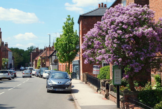
| current | 16:41, 8 March 2014 | | 640 × 433 (104 KB) | Vlad (talk | contribs) | '''Southwell NG25, Notts (C) David Hallam-Jones '''<br/>A view along Church Street, Easthorpe (the A612) towards the centre of Southwell. |
File usage
The following page uses this file:
_David_Hallam-Jones_-_Geograph_-_3484819.jpg&oldid=504796)