File:Span Hill, the A4155, Henley Road, Dunsden - Geograph - 697080.jpg
Jump to navigation
Jump to search

No higher resolution available.
Span_Hill,_the_A4155,_Henley_Road,_Dunsden_-_Geograph_-_697080.jpg (640 × 480 pixels, file size: 157 KB, MIME type: image/jpeg)
| |||||||||||||||||||||||||
|
Galleries | A4155 | ||
File history
Click on a date/time to view the file as it appeared at that time.
| Date/Time | Thumbnail | Dimensions | User | Comment | |
|---|---|---|---|---|---|
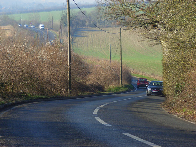
| current | 14:55, 8 March 2010 | | 640 × 480 (157 KB) | Jeni (talk | contribs) | '''Span Hill, the A4155, Henley Road, Dunsden'''<br/>A steepish and winding section of road beside Ash Copse. |
File usage
There are no pages that use this file.