File:Spilmersford Bridge - Geograph - 363421.jpg
Jump to navigation
Jump to search

No higher resolution available.
Spilmersford_Bridge_-_Geograph_-_363421.jpg (640 × 480 pixels, file size: 174 KB, MIME type: image/jpeg)
| |||||||||||||||||||||||||
|
Galleries | B6355 | East Lothian Hillfoots Trail | Spilmersford Bridge | ||
File history
Click on a date/time to view the file as it appeared at that time.
| Date/Time | Thumbnail | Dimensions | User | Comment | |
|---|---|---|---|---|---|
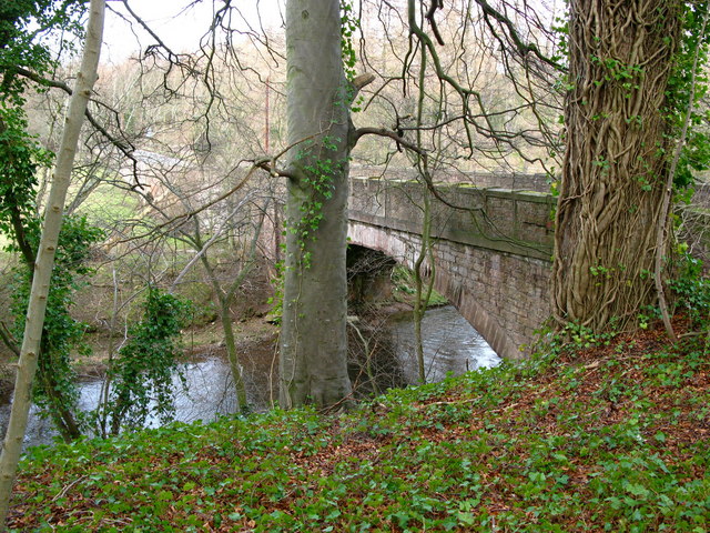
| current | 11:14, 20 July 2010 | | 640 × 480 (174 KB) | Bob@romiley1 (talk | contribs) | '''Spilmersford Bridge'''<br/>Late 18th century, single span bridge over the River Tyne. There is a large overflow arch in the field to the west. |
File usage
The following 3 pages use this file: