File:St-austell-1957.jpg
Jump to navigation
Jump to search

No higher resolution available.
St-austell-1957.jpg (756 × 481 pixels, file size: 151 KB, MIME type: image/jpeg)
| |||||||||||||||||||||||||
|
Galleries | A390 | A391 | A3058 | St Austell | OS One Inch | A3061 | B3273 | B3374 | ||
File history
Click on a date/time to view the file as it appeared at that time.
| Date/Time | Thumbnail | Dimensions | User | Comment | |
|---|---|---|---|---|---|
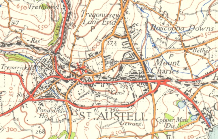
| current | 16:56, 30 November 2009 | | 756 × 481 (151 KB) | Rileyrob (talk | contribs) | {{Information |description = St Austell in 1957, before the bypass. |day = |month = |year = 1957 |photographer = |source = OS NPE Sheet 190 |road = A390 |road2 = A391 |road3 = A3058 |lat = 5 |
File usage
The following 12 pages use this file: