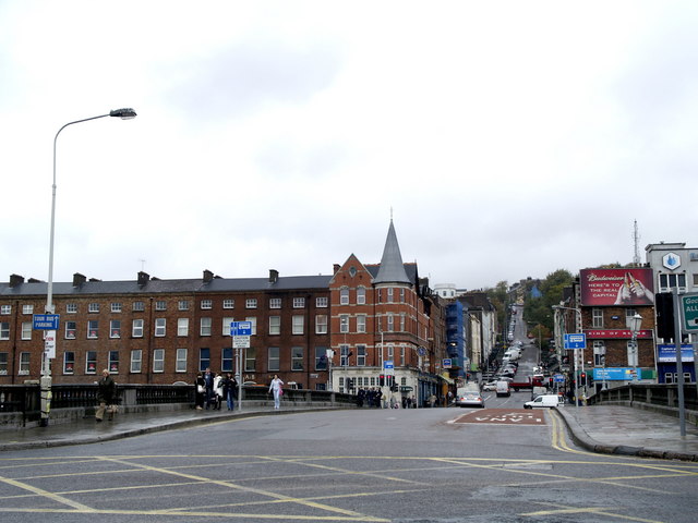
File:St. Patrick's Bridge and St. Patrick's Hill, Cork - Geograph - 596545.jpg
Jump to navigation
Jump to search

No higher resolution available.
St._Patrick's_Bridge_and_St._Patrick's_Hill,_Cork_-_Geograph_-_596545.jpg (640 × 480 pixels, file size: 62 KB, MIME type: image/jpeg)
| |||||||||||||||||||||||||
File history
Click on a date/time to view the file as it appeared at that time.
| Date/Time | Thumbnail | Dimensions | User | Comment | |
|---|---|---|---|---|---|
| current | 11:41, 28 May 2016 | | 640 × 480 (62 KB) | A39 chris (talk | contribs) | '''St. Patrick's Bridge and St. Patrick's Hill, Cork''' |
File usage
There are no pages that use this file.