File:St Andrew's Street, Hertford - Geograph - 4200922.jpg
Jump to navigation
Jump to search

No higher resolution available.
St_Andrew's_Street,_Hertford_-_Geograph_-_4200922.jpg (640 × 480 pixels, file size: 112 KB, MIME type: image/jpeg)
| |||||||||||||||||||||||||
|
Galleries | C176 (Hertfordshire) | Hertford | Hertfordshire | ||
File history
Click on a date/time to view the file as it appeared at that time.
| Date/Time | Thumbnail | Dimensions | User | Comment | |
|---|---|---|---|---|---|
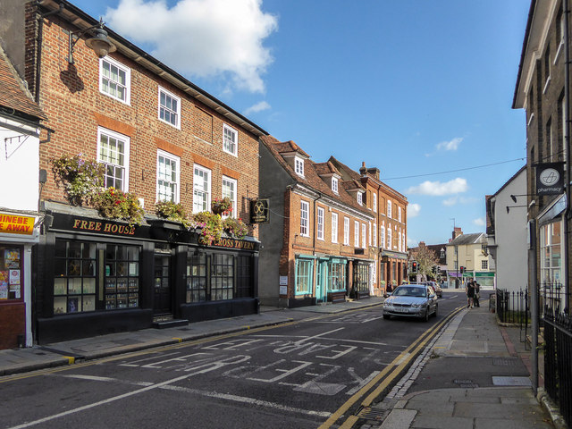
| current | 09:28, 18 February 2017 | | 640 × 480 (112 KB) | C2r (talk | contribs) | '''St Andrew's Street, Hertford''' Looking towards the centre of Hertford. |
File usage
The following 4 pages use this file: