File:St Andrews Crescent - Geograph - 5779133.jpg
Jump to navigation
Jump to search

No higher resolution available.
St_Andrews_Crescent_-_Geograph_-_5779133.jpg (640 × 429 pixels, file size: 98 KB, MIME type: image/jpeg)
| |||||||||||||||||||||||||
|
Galleries | A726 | Glasgow Airport | ||
File history
Click on a date/time to view the file as it appeared at that time.
| Date/Time | Thumbnail | Dimensions | User | Comment | |
|---|---|---|---|---|---|
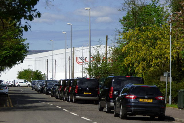
| current | 18:27, 7 April 2021 | | 640 × 429 (98 KB) | Tam nugent (talk | contribs) | The Loganair hangar at Glasgow Airport is in the background. The road is the original alignment of the A726 which was re-routed when the airport opened in 1966. |
File usage
The following 2 pages use this file: