File:St Germains Crossing - Geograph - 4778834.jpg
Jump to navigation
Jump to search

Size of this preview: 800 × 534 pixels. Other resolution: 1,024 × 683 pixels.
Original file (1,024 × 683 pixels, file size: 258 KB, MIME type: image/jpeg)
| |||||||||||||||||||||||||
|
Galleries | A198 | Level Crossing | East Lothian | ||
File history
Click on a date/time to view the file as it appeared at that time.
| Date/Time | Thumbnail | Dimensions | User | Comment | |
|---|---|---|---|---|---|
| current | 06:24, 26 December 2017 | | 1,024 × 683 (258 KB) | Glen (talk | contribs) | |
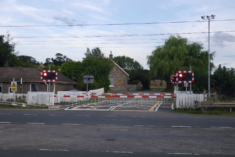
| 06:23, 26 December 2017 |  | 640 × 427 (60 KB) | Glen (talk | contribs) | '''St Germains Crossing''' The level crossing on the East Coast Main Line has survived closure so far. |
File usage
The following 5 pages use this file: