File:St Harmon - Geograph - 740626.jpg

From Roader's Digest: The SABRE Wiki
Jump to navigation Jump to search

St_Harmon_-_Geograph_-_740626.jpg(640 × 428 pixels, file size: 93 KB, MIME type: image/jpeg)

Y topleft.gifY topright.gif
Description:
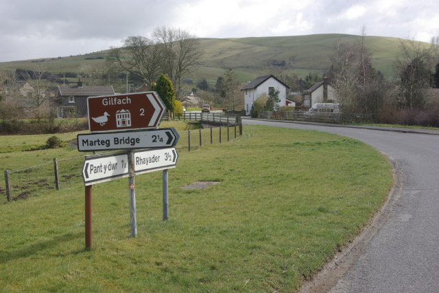
St Harmon
Looking along the B4518 Llanidloes - Rhayader road as it approaches St Harmon, crossing the Afon Marteg in the foreground. Also passing through here is the route of the long-closed Brecon - Moat Lane Junction railway which crossed the road just beyond the bridge.
Location:52.345068, -3.487444
Road:b4518
Date:22 03 2008
Photographer:� Copyright Stephen McKay and licensed for reuse under this Creative Commons Licence
Source:Geograph

Map

Y btmleft.gifY btmright.gif

Galleries  | b4518 | Flag Sign | S2

File history

Click on a date/time to view the file as it appeared at that time.

Date/TimeThumbnailDimensionsUserComment
current15:03, 18 March 2010Thumbnail for version as of 15:03, 18 March 2010640 × 428 (93 KB)Bob@romiley1 (talk | contribs)'''St Harmon'''<br/>Looking along the B4518 Llanidloes - Rhayader road as it approaches St Harmon, crossing the Afon Marteg in the foreground. Also passing through here is the route of the long-closed Brecon - Moat Lane Junction railway which crossed the

The following 2 pages use this file:

Metadata

SABRE - The Society for All British and Irish Road Enthusiasts
Discuss - Digest - Discover - Help