File:St Ives,Cambridgeshire - Geograph - 1559422.jpg
Jump to navigation
Jump to search

No higher resolution available.
St_Ives,Cambridgeshire_-_Geograph_-_1559422.jpg (640 × 452 pixels, file size: 148 KB, MIME type: image/jpeg)
| |||||||||||||||||||||||||
|
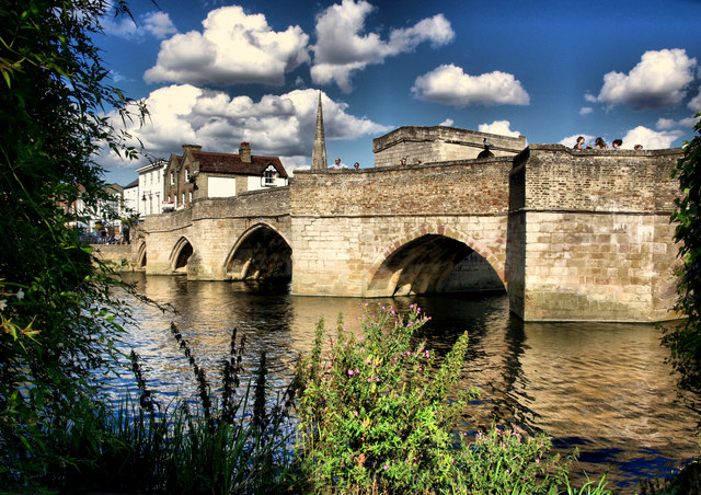
Galleries | B1040 | St Ives Bridge | ||
File history
Click on a date/time to view the file as it appeared at that time.
| Date/Time | Thumbnail | Dimensions | User | Comment | |
|---|---|---|---|---|---|
| current | 18:42, 8 April 2012 | | 640 × 452 (148 KB) | Rileyrob (talk | contribs) | The Bridge St Ives, Cambridgeshire, formerly carrying the B1040, now effectivelypedestrianized |
File usage
The following page uses this file: