File:St Mary's, Weston by Welland, Northants - Geograph - 3343798.jpg
Jump to navigation
Jump to search

No higher resolution available.
St_Mary's,_Weston_by_Welland,_Northants_-_Geograph_-_3343798.jpg (640 × 427 pixels, file size: 87 KB, MIME type: image/jpeg)
| |||||||||||||||||||||||||
|
Galleries | B664 | Pre-Worboys Direction Signs | Photo of the Month April 2013 | ||
File history
Click on a date/time to view the file as it appeared at that time.
| Date/Time | Thumbnail | Dimensions | User | Comment | |
|---|---|---|---|---|---|
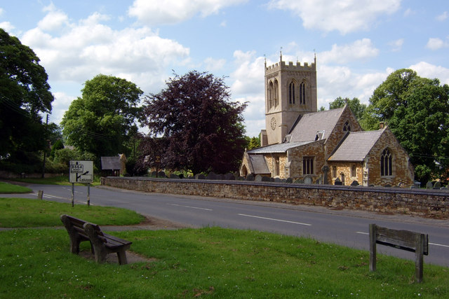
| current | 21:11, 23 February 2013 | | 640 × 427 (87 KB) | Viator (talk | contribs) | On the B664 at Weston by Welland, Northamptonshire |
File usage
The following page uses this file: