File:St Michael's, Station Road, Dornoch - Geograph - 5545283.jpg
Jump to navigation
Jump to search

No higher resolution available.
St_Michael's,_Station_Road,_Dornoch_-_Geograph_-_5545283.jpg (640 × 362 pixels, file size: 58 KB, MIME type: image/jpeg)
| |||||||||||||||||||||||||
|
Galleries | A949 | C1026 (Highland) | Dornoch Tourist Routes | Dornoch | ||
File history
Click on a date/time to view the file as it appeared at that time.
| Date/Time | Thumbnail | Dimensions | User | Comment | |
|---|---|---|---|---|---|
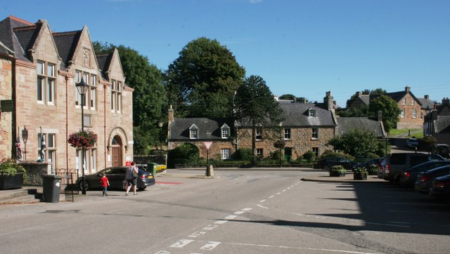
| current | 18:30, 2 September 2018 | | 640 × 362 (58 KB) | Si404 (talk | contribs) | '''St Michael's, Station Road, Dornoch''' A monkey puzzle tree grows outside the Category B listed house which dates from 1802 or 1807. Seen from High Street. |
File usage
The following 3 pages use this file: