File:St Nicholas' Church and The Grapes, Wrea Green - Geograph - 1854255.jpg
Jump to navigation
Jump to search

No higher resolution available.
St_Nicholas'_Church_and_The_Grapes,_Wrea_Green_-_Geograph_-_1854255.jpg (640 × 452 pixels, file size: 108 KB, MIME type: image/jpeg)
| |||||||||||||||||||||||||
|
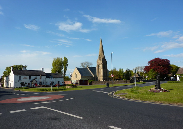
Galleries | B5259 | B5260 | Mini Roundabout | ||
File history
Click on a date/time to view the file as it appeared at that time.
| Date/Time | Thumbnail | Dimensions | User | Comment | |
|---|---|---|---|---|---|
| current | 21:54, 15 May 2012 | | 640 × 452 (108 KB) | Multiraider2 (talk | contribs) | Road junction for the B5259/B5260 in the attractive Wrea Green |
File usage
The following 4 pages use this file: