File:Staffordshire.png
Jump to navigation
Jump to search

Size of this preview: 600 × 600 pixels. Other resolution: 1,200 × 1,200 pixels.
Original file (1,200 × 1,200 pixels, file size: 569 KB, MIME type: image/png)
| |||||||||||||||||||||||||
|
Galleries | Staffordshire | ||
File history
Click on a date/time to view the file as it appeared at that time.
| Date/Time | Thumbnail | Dimensions | User | Comment | |
|---|---|---|---|---|---|
| current | 19:35, 5 November 2013 | | 1,200 × 1,200 (569 KB) | Steven (talk | contribs) | Change resolution to 1200x1200 to allow for better resizing |
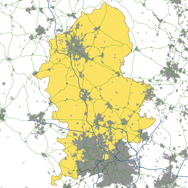
| 08:16, 5 November 2013 |  | 800 × 800 (344 KB) | Steven (talk | contribs) | Staffordshire, based on a combination of OS OpenData mapping and the Historic County Borders Project data. |
File usage
There are no pages that use this file.